
November 9, 2026
Counter-UAV Radar: How It Works, Detection Trade-offs, and Procurement Checks
A technical buyer's guide to counter-UAV radar: how radar detects small drones, what limits detection range, how to compare LFMCW, FMCW, DBF, and phased-array designs, and which acceptance tests and integration checks to run before purchase.
What counter-UAV radar actually measures
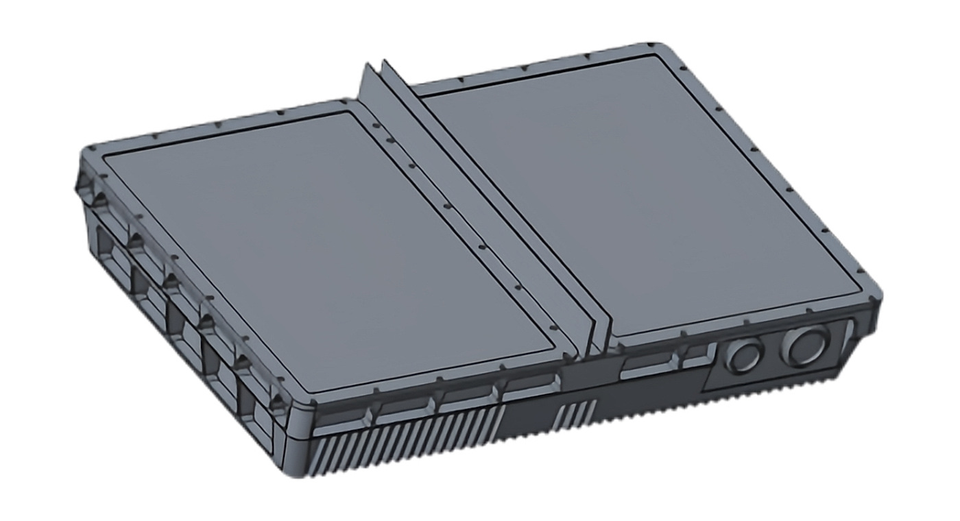
A counter-UAV radar is a ground-based sensor that detects, tracks, and classifies small airborne targets — typically Group 1 unmanned aircraft — by transmitting radio energy and processing the returns. It does not jam, spoof, or shoot down anything. It produces a track: position, altitude, speed, and heading over time, usually with a classification label and a confidence value.
That distinction matters at procurement. Radar is one node in a layered counter-UAV architecture that may also include RF detection, electro-optical/infrared cameras, acoustic sensors, and mitigation effectors. Radar's specific contribution is wide-area, all-weather detection of targets that RF detection may miss — for example, drones flying autonomously on a pre-programmed route with no active control link.
The buyer's question is rarely "does it detect drones?" It is "under what conditions, at what range, with what false-alarm rate, and what does the rest of my system have to do to turn a track into a decision?"
Why small drones are hard radar targets
Small multirotors present a difficult detection problem for reasons that are physical, not commercial.
- Low radar cross section. A typical consumer-class airframe is largely plastic and carbon fiber with small metal components. Its RCS is a fraction of a square meter and varies sharply with aspect angle — a drone seen edge-on returns far less energy than one seen broadside.
- Slow speed. Hover and loiter speeds overlap with birds, ground clutter, and wind-driven vegetation, which weakens simple Doppler filtering.
- Low altitude. Targets below roughly 100–150 m compete with terrain, buildings, and tree lines in the same range-Doppler cells.
- Clutter density. Near the horizon, ground returns can be orders of magnitude stronger than the drone echo, so the receiver's dynamic range and clutter-suppression design dominate real-world performance.
These four factors explain why two radars with similar datasheet claims can behave very differently on the same site. Detection range quoted against a cooperative test target in clean airspace is not the same as detection range against a hovering micro-drone behind a treeline.
Core radar architectures and what they trade
Most counter-UAV radars on the market fall into a small number of architectural families. The choice affects cost, mechanical complexity, coverage geometry, and how the system behaves in clutter.
LFMCW and FMCW continuous-wave designs
Linear frequency-modulated continuous wave (LFMCW) and frequency-modulated continuous wave (FMCW) radars transmit continuously while sweeping frequency. Because they transmit and receive simultaneously, they measure range from the beat frequency and velocity from Doppler shift, and they do not have the minimum-range blind zone that pulsed radars exhibit. That makes them well suited to short- and medium-range low-altitude surveillance where the target may appear close to the antenna.
The trade is peak power. Continuous transmission spreads energy over time, so LFMCW designs generally rely on coherent processing gain and long integration rather than high peak power to achieve sensitivity. This is a design philosophy, not a defect — but it means the achievable detection range depends heavily on antenna aperture, integration time, and processing quality.
Digital beamforming and phased-array designs
Digital beamforming (DBF) and two-dimensional phased-array designs steer or form multiple simultaneous beams electronically. The practical benefits for counter-UAV work are:
- Multi-target tracking. Several beams can be maintained at once, so the radar can hold tracks on multiple drones without mechanically scanning to each one.
- Fast revisit. Electronic steering removes the inertia of a rotating pedestal, improving track continuity on maneuvering targets.
- Adaptive nulling. Beams can be shaped to suppress clutter or interference from a known direction.
- Multi-face assembly. Several array faces can be combined to approximate 360° coverage without a single rotating joint.
Two-dimensional arrays add elevation measurement, which matters for estimating drone altitude and for separating airborne targets from ground clutter. A one-dimensional array that measures azimuth only may still detect the drone but gives weaker altitude information and less clutter discrimination.
Rotating versus staring coverage
A mechanically rotating radar covers 360° with one antenna but revisits any given bearing once per rotation. A multi-face staring array covers the same circle with continuous dwell on each sector. The trade is cost and complexity against update rate and track quality on fast-crossing or pop-up targets. For perimeter security where a drone may appear briefly at the fence line, update rate is often the deciding factor.
| Architecture | Range measurement | Coverage approach | Typical strength | Main trade-off |
|---|---|---|---|---|
| LFMCW / FMCW | Beat frequency, no close-in blind zone | Single face or rotating | Short/medium-range low-altitude detection | Lower peak power; sensitivity depends on aperture and integration |
| DBF | Range plus digital beam steering | Multi-beam, often multi-face | Multiple simultaneous tracks, adaptive clutter suppression | Processing load and cost |
| 2D phased array | Range, azimuth, elevation | Multi-face 360° assembly | Altitude estimation, clutter discrimination, fast revisit | Highest cost and calibration complexity |
| Rotating pulsed | Time of flight, close-in blind zone | Single rotating antenna | Long range per unit cost | Slower revisit; minimum-range gap |
None of these is universally better. A site with a single approach corridor may be served well by one face; a site needing full-circle coverage with no gap is better served by multi-face staring arrays.
Radar-video fusion and the false-alarm problem
The single most common operational complaint about counter-UAV radar is not missed detections — it is too many tracks. A radar that reports every bird, every wind-blown branch, and every vehicle at the perimeter generates alarm fatigue, and operators stop trusting the system.
Radar-video fusion addresses this by correlating radar tracks with electro-optical or infrared imagery. When a radar track is confirmed by a camera, the system can elevate confidence and, in some designs, trigger audible or visual warnings automatically. The radar provides the cue; the camera provides the confirmation. This is the mechanism behind "low false alarm" claims in integrated perimeter systems, and it is worth probing during evaluation: ask what happens when the camera cannot see the target, such as in fog or at night without thermal imaging.
Fusion also changes the operator workflow. Instead of watching a raw radar plan-position display, the operator sees a track with an associated video feed. That reduces cognitive load but adds a dependency: if the camera is occluded or the pan-tilt unit is slewing, the fusion chain degrades. Buyers should ask how the system behaves during camera slewing and whether tracks persist when video confirmation is unavailable.
Detection range: what the number really means
Detection range for a given radar cross section scales with the fourth root of transmitted power and antenna gain, and inversely with the fourth root of minimum detectable signal. In practice, this means doubling detection range requires roughly sixteen times the power-aperture product, all else equal. That is why incremental range improvements are expensive and why datasheet range figures deserve scrutiny.
When a vendor quotes a detection range, ask for the conditions attached to it:
- Target RCS. A range quoted against a 0.1 m² reference is not comparable to one quoted against a 0.01 m² micro-drone.
- Probability of detection. Range at 90% probability of detection is shorter than range at 50%.
- False alarm rate. A long range with a high false alarm rate is not usable.
- Clutter environment. Range over open water or flat desert differs from range in urban or forested terrain.
- Target altitude and aspect. A drone at 50 m behind a building is a different problem from one at 300 m in clear sky.
If a vendor cannot state these conditions, treat the range figure as a marketing number rather than an engineering specification.
Procurement and integration checks
Counter-UAV radar is rarely bought as a standalone product. It is integrated into a command-and-control layer, often alongside RF detection, cameras, and mitigation systems. The integration questions usually determine whether the project succeeds.
Interface and protocol questions
- What track output format does the radar provide, and over what physical interface?
- Does it output raw plots, tracks, or both? Raw plots allow a third-party tracker to do its own association; tracks-only output locks you into the vendor's logic.
- What is the track update rate, and what is the latency from detection to output?
- Can the radar be commanded to sector-stare or adjust its dwell, and is that exposed through the interface?
- How are tracks handed off to cameras or effectors, and what is the georeferencing accuracy?
Site and installation questions
- What mounting height is required to achieve the quoted coverage, and what does the site's existing infrastructure allow?
- How is the radar calibrated after installation, and does calibration drift with temperature?
- What are the power, network, and shelter requirements?
- How does the site's terrain, fencing, and nearby structures affect the coverage diagram?
- Is the radar licensed or license-exempt in the destination country, and what are the emission limits?
Acceptance testing
Acceptance testing should be written into the contract before delivery, not negotiated after. A workable test plan includes:
- Detection range verification against a representative target at specified RCS, altitude, and aspect angles.
- Probability of detection measured over a defined number of passes, not a single demonstration flight.
- False alarm count over a defined observation period, in the actual site clutter environment, with and without fusion enabled.
- Track continuity through maneuvers, including hover, rapid direction change, and descent behind terrain.
- Multi-target behavior with two or more simultaneous drones.
- Integration test with the customer's command-and-control system, including handoff to cameras and effectors.
Insist on testing in the customer's environment. A demonstration at the vendor's test range, in clean airspace with a cooperative target, does not predict performance at a cluttered urban or industrial site.
Where counter-UAV radar sits in a layered defense
No single sensor covers the full counter-UAV problem. Radar detects and tracks but does not identify intent, and it cannot distinguish a hobbyist's drone from a hostile one. RF detection can identify control protocols and locate the operator, but misses autonomous drones. Cameras provide visual identification but have limited field of view and degrade in poor weather. Acoustic sensors work at short range and are affected by ambient noise.
The practical architecture uses radar as the wide-area cue, RF for protocol identification and operator location where applicable, and cameras for visual confirmation. Mitigation — whether RF jamming, GNSS denial, or kinetic interception — is a separate decision with its own legal and safety constraints that vary by jurisdiction.
Buyers should also consider adjacent sensing needs. A site that needs both airspace and ground perimeter coverage may benefit from a perimeter surveillance radar sharing the same command layer. Sites with buried infrastructure or survey requirements may separately use ground penetrating radar, which operates on entirely different physics and is not a substitute for airspace surveillance — it is a complementary tool for subsurface detection.
Common failure modes and how to avoid them
- Overpromised range. The quoted figure assumes ideal conditions. Mitigate by requiring conditional specifications and site-specific testing.
- False alarm fatigue. Operators disable alerts. Mitigate by requiring false-alarm measurement during acceptance and by specifying fusion behavior.
- Coverage gaps. A single face leaves blind sectors. Mitigate by requiring a coverage diagram overlaid on the site plan.
- Integration mismatch. The radar works but does not talk to the C2 system. Mitigate by testing interfaces before purchase, not after.
- Regulatory surprises. Spectrum authorization is not automatic. Mitigate by confirming the regulatory path in the destination country early.
- Calibration drift. Performance degrades quietly. Mitigate by specifying a calibration and verification schedule.
Questions to put in the RFP
The following questions separate a serious radar supplier from a reseller:
- What is the detection range for a 0.01 m² RCS target at 90% probability of detection, in the specified clutter environment?
- What is the measured false alarm rate per hour in a comparable site?
- How does the radar perform against hovering targets, and what is the minimum detectable velocity?
- What is the elevation coverage, and how is altitude estimated?
- What is the track update rate and end-to-end latency?
- What interfaces and protocols are supported, and can raw plots be exported?
- What is the calibration procedure, and how often is recalibration required?
- What spectrum authorization is required in our country, and who holds it?
- What does the acceptance test plan look like, and will the vendor support site-specific testing?
- What happens when the camera in a fused system cannot confirm a track?
How to decide
Start from the threat and the site, not the datasheet. Define the smallest drone you must detect, the altitude band, the approach directions, and the clutter environment. Then require every vendor to answer the same conditional questions and to test in your environment. The radar that wins is the one whose measured performance in your clutter matches your operational requirement — not the one with the largest number on the brochure.
For sites evaluating integrated perimeter protection, a radar-video fusion system can reduce operator workload by correlating tracks with imagery and triggering warnings automatically. For sites needing dedicated low-altitude coverage, a purpose-built low-altitude surveillance radar with 360° coverage and multi-face assembly may fit better. The architecture should follow the requirement, not the other way around.